We provide all types of Photogrammetry services
The input to photogrammetry is photographs, and the output is typically a map, a drawing, a measurement, or a 3D model of real-world object or landscapes. Many of the maps we use today are created with photogrammetry and photographs taken from aerial photography/satellite/UAV.
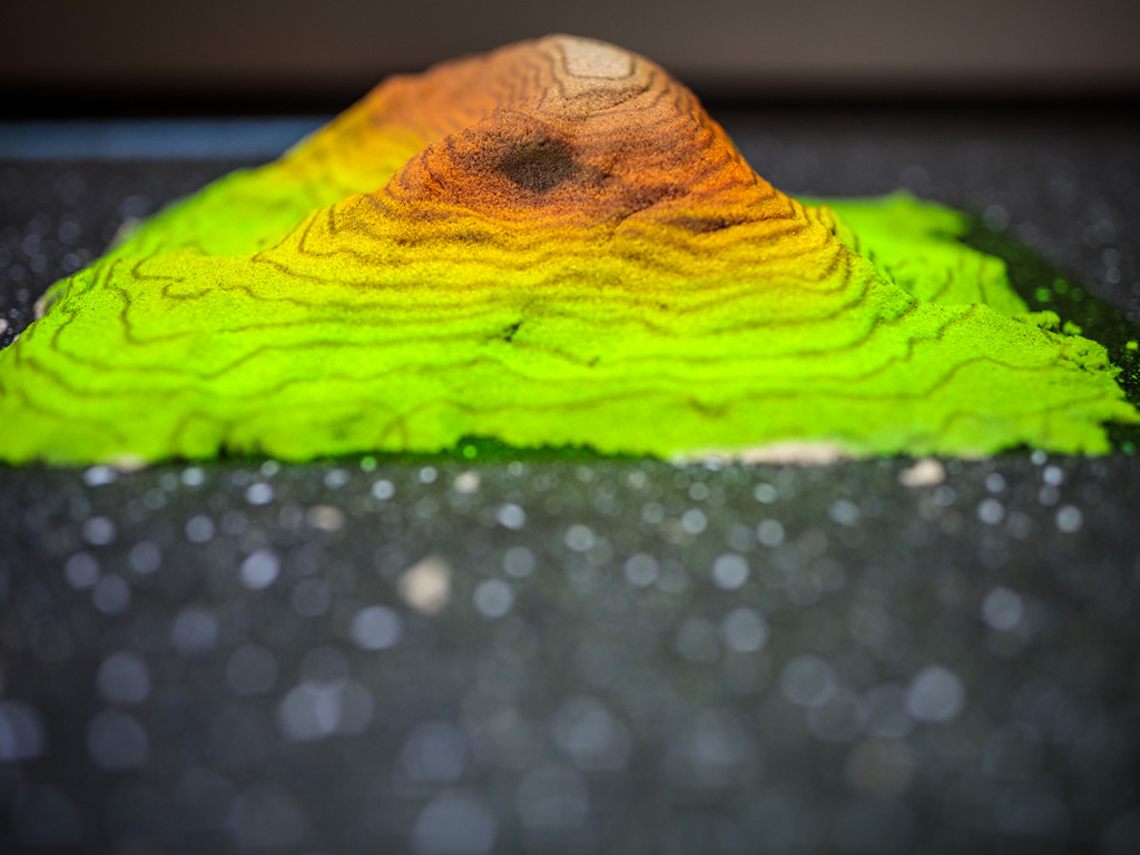
In many projects where manual survey is not possible or takes a longer time, satellite images are mostly used to develop digital elevation models (DEM).After processing of DEM the data needed for analysis can be obtained. We at SeerMaps have the best technical expertise to handle and process the satellite images for creating DEMs for analysis.
Offered Photogrammetry Services
- DEM Analysis
- Contour Generation
- Satellite Imagery
- Crop Yield Analysis
- Thermal Imaging


